Planning is one of the key components of having a safe and enjoyable experience in the mountains. Without it you might find yourself in a tricky situation that could have been avoided. So how do we plan a day’s hillwalking and what factors do we need to consider?
There are lots of ways to approach planning but personally I always start with the weather. This is probably the one element that affects my planning more than anything. Inevitably you may ask, “what’s the best weather forecast to look at?” or, “how do I find the forecast for the mountain I want to climb?”.
The key is to look at a range of mountain specific forecasts, and for me that usually means using MWIS (The Mountain Weather Information Service), The Met Office, and mountain-forecast.com. Using all three gives me forecasts for both whole mountain areas in the UK (e.g. the Cairngorms) and also individual summits (e.g. Ben Macdui). The forecasts might not always agree with one another so I typically base my planning on the worst outlook - this means that I won’t be underprepared and hopefully will be pleasantly surprised!
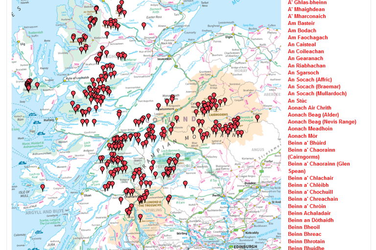
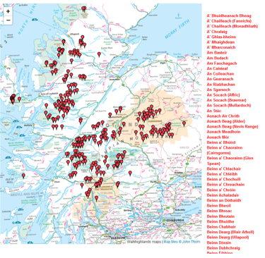
It might be that I already know the exact route or mountain I want to go up on a given day, but if I’m planning for myself then usually I’ll pick where has the best weather and go there. So if we’ve found an area with good weather, how do we then find walks to do or Munros to bag in that area?
give us a follow...
© 2024. All rights reserved.


and see what we've been up to!